Enabling Sustainable Partnerships through Open Data and Interactive Community Mapping
In Jamaica there is a saying that “one han’ cyaan clap” which simply means that you have to work with others to achieve a common goal, you can’t do it alone. This proverb echoed throughout this interactive community mapping project implemented by the Mona School of Business and Management (MSBM) through the development of partnerships with several key boundary and strategic partners.
Community residents were actively engaged in the mapping process and provided the sources of media rich data which was placed on OpenStreetMap. The community mappers noted that it has been an enjoyable and eye-opening experience as they were not aware of the opportunities that were available through mapping and open data. They expressed how exciting it has been being able to share their community and its history with the entire world and feel honoured to have been chosen as the pilot for this initiative.

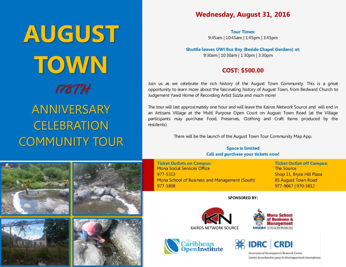
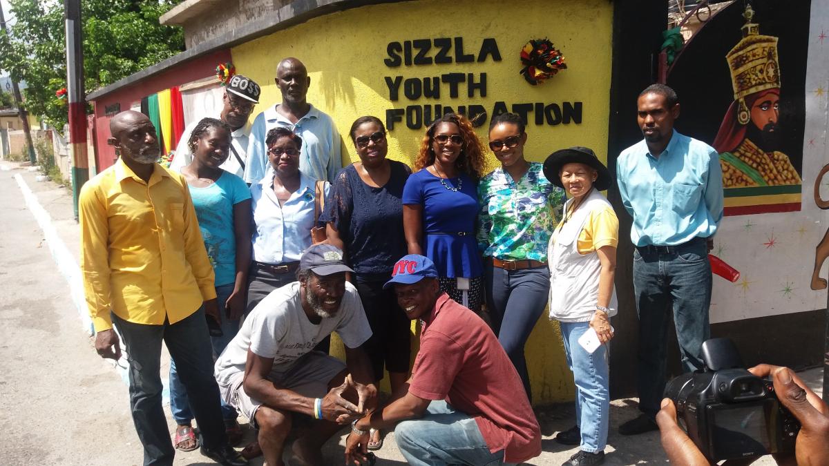
A soft launch of the August Town Tour will be held on 31st August, 2016. The tour concept was presented to the Ministry of Tourism and its affiliate companies and was well received. The tour will begin at The Source with a multimedia display and information about August Town. The tour then continues to Judgement Yard, then to the Bedward Church and Berry Spring. Along the route the tour will stop at various places showing old buildings, persons and other sites of interest. The tour will end at the open court where tents will be set up with food and crafts. The Apps developers are currently working on a community tourism app which is schedule to be launched on the day of the first tour with is August 31, 2016.
A key boundary partner was a community resource hub called The Source. The Source lived up to its definition as it was engaged to act as a hub for the emerging network of interactive community mappers and support the development of map-related entrepreneurial skills and opportunities within the community. It provided a central location for mapping activities over the period and housed the computer and other equipment that were used by the mappers for editing and uploading geoData and multimedia content to the OpenStreetMap platform.
Additionally, it provided a central meeting place for the mappers for meetings on Fridays where they reviewed and discussed the progress of mapping activities. The Source also assisted in the administration of the mapping activities and the payments of stipends to the community mappers during the project.
The August Town community tour and the associated virtual tour mobile App, is the 1st derivitave product that demonstrates how the digital assets created by interactive community mapping and Open geoData can enhance community tourism products and services. The tour will be operated via the Source, in the interim, and they have also assisted in identifying the potential tour guides from the community to be trained.

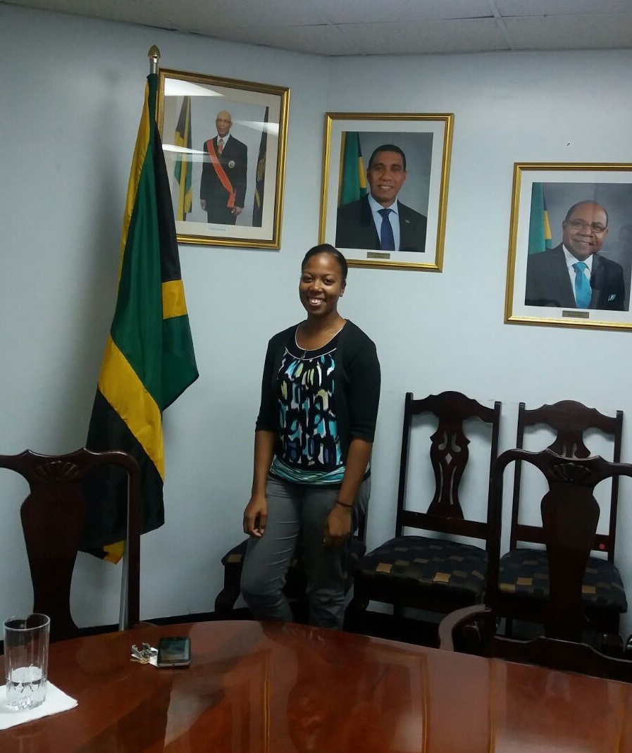
The Ministry of Tourism and its agencies are strategic partners and are supporting the August Town community tour. Representatives from the Tourism Product Development Company (TPDCO) conducted a site visit of the tour route to provide assistance with the development of the tour product and conducted a comprehensive Tour Guide Training workshop.

It is important to note that persons have recognized the potential of the mapping project and are actively seeking ways to develop businesses out of this interactive community mapping. A meeting with the Jamaica Social Investment Fund (JSIF), a strategic partner of this project revealed additional opportunities for community mapping activities. These activities will showcase the mappers’ skills, help support community resilience and provide new entrepreneurial opportunities.
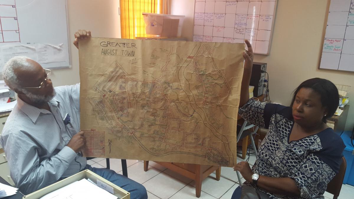
Another boundary partner was the Social Development Commission (SDC) and there were two representatives from the SDC who attend the IMC workshops and received certificates of achievement. The SDC also shared a physical map that they possessed of the August Town community which had some of the community assets identified. This interactive community mapping project will create a more accessible interface and produce geoData of the August Town community that can be utilised by the SDC.

Ongoing partnerships are the way forward for the success of interactive community mapping and truly made a louder sound with many hands clapping. Partnerships will continue to flourish long after this project has ended for sustainable growth in the community mapping activities throughout Jamaica.
